batawa trails & pump track


pump track
Our pump track is free and open to the public. All types of bikes and skateboards are welcome.

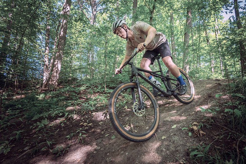
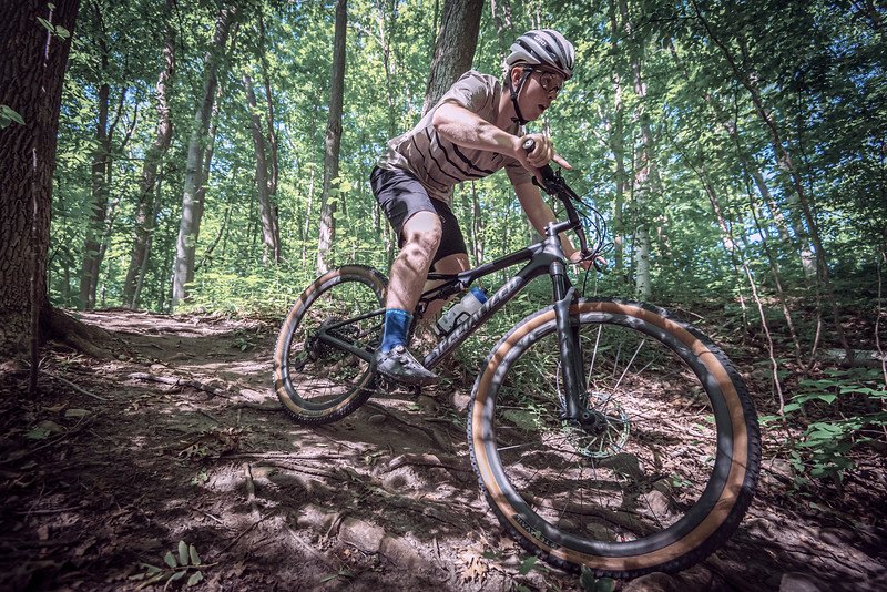
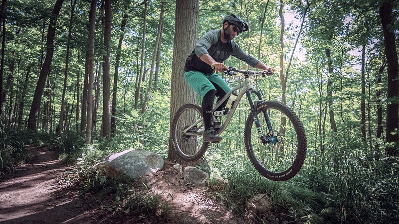
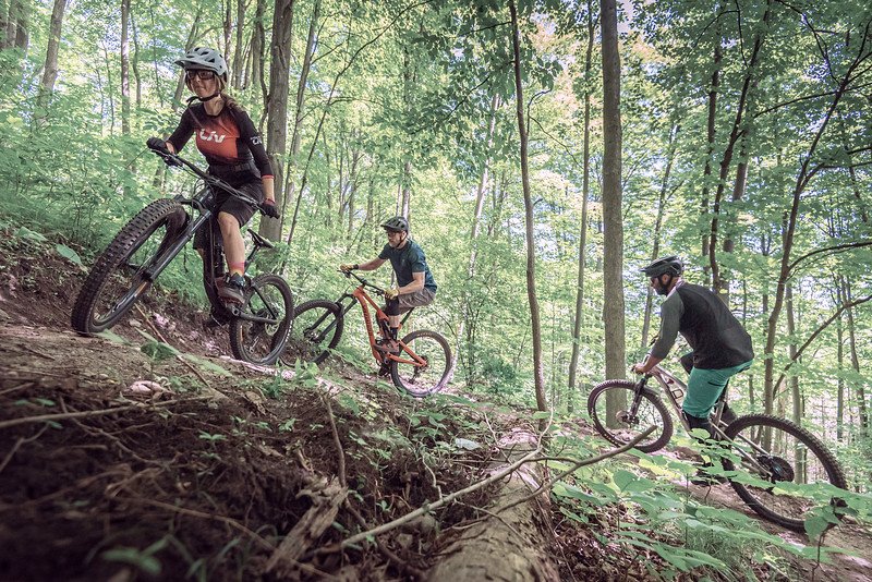
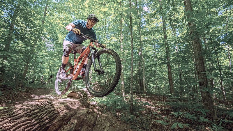
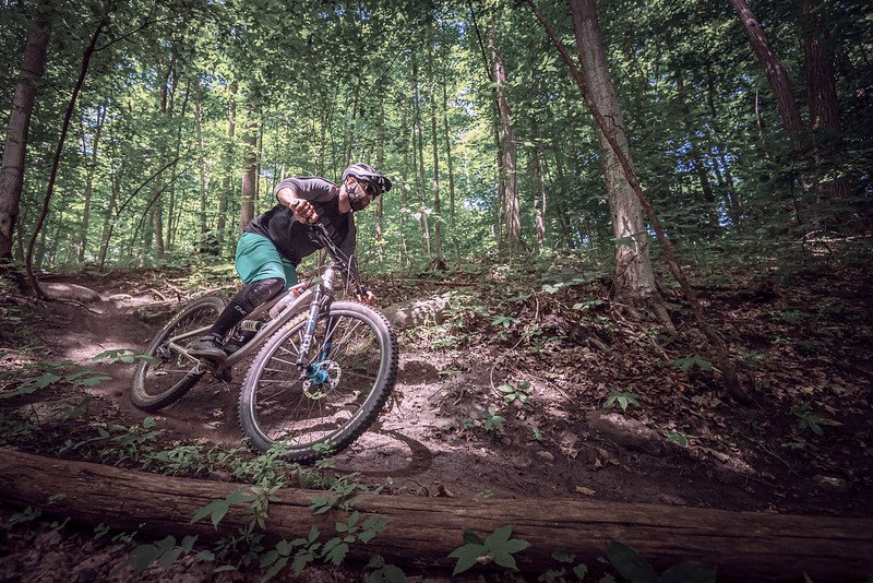
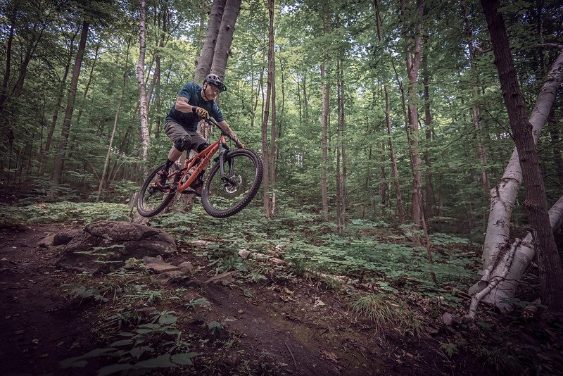
a guide to biking the batawa trails
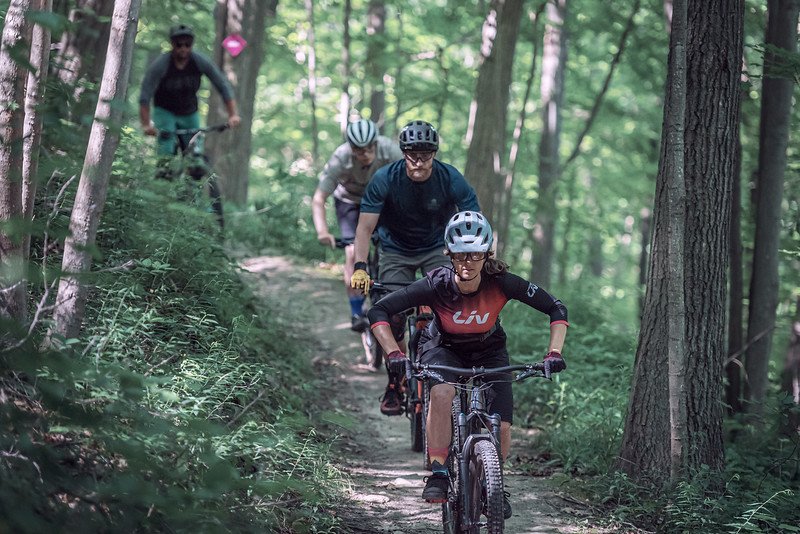
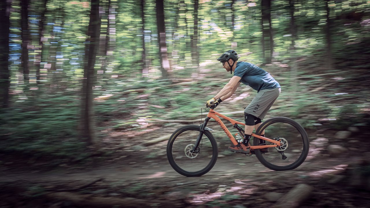
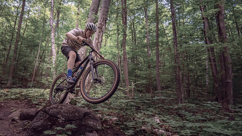
Off-road adventures for all ages and skill levels.

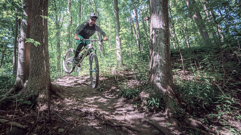
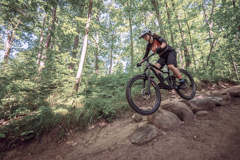
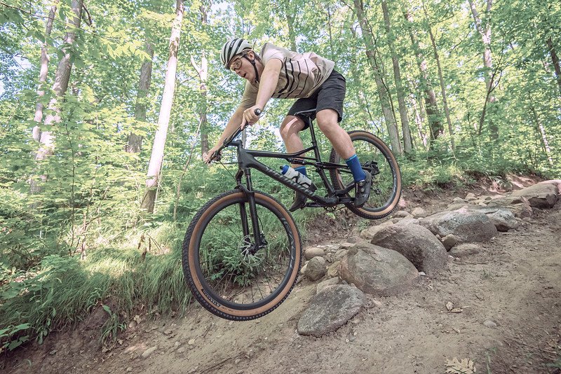
PUTTING BATAWA ON THE MAP FOR MOUNTAIN BIKING
Quinte MTB and Batawa Ski Hill collaborate to build MTB trails.

HOW TO FIT A KIDS
BIKE HELMET
Check out this great blog “5 mistakes to avoid when choosing your kids first MTB helmet” by Kids Ride Shotgun
The Batawa Trails are free and open to the public year round (unless otherwise posted). The Batawa Ski Hill oversees the activities of the trail network. The Quinte MTB Club has stewardship over the trails and future trail development.
Quinte MTB is an incorporated not for profit IMBA affiliated club. All donations go back into maintaining the current trails and future trail development. You can learn more and donate HERE. The best way to communicate with the club is HERE on their Facebook page.
The main parking lot at the Ski Hill is the central meeting point for trail access. The map above shows the South side trail network. On the South side trails (adjacent to the Ski Hill) here are maps posted at each trail intersection. Each trail is approximately 1km long with varying degrees of difficulty. It is strongly advised that hikers and uphill bikers do NOT use Pioneer Ridge (marked in orange on map). Be aware of downhill bike traffic at all times. You can find a digital map on trail forks HERE. In the event of an emergency you are to call 911. The location is 99 Ski Club Lane, Batawa ON. K0K 1E0.
The Batawa North trail network is located on the land North of Parry Drive and South of March Street. We ask that you park at the Batawa Ski Hill Main Parking lot. DO NOT park on Parry Drive or March Street. Access to the Batawa North Trails can be found along Ski Club Lane via the North South Connector Trail. It will take you to Parry Drive where you will cross the road to access the North Trails.
At this time there are no physical maps on site for the North Side trails. However, trail identification signage is in place at all the trail heads and along the access trails. The digital map can be found on Trail Forks HERE. In the event of an emergency call 911, the GPS co-ordinates of the Parry Drive entrance to the North Side trails is 44.172511,-77.602310. The What 3 Words location (for the trailhead) is “ending.resent.under” (see details HERE)
Access to the property is provided at the risk of the user. The BDC, Batawa Ski Hill and Quinte MTB have no control over the behavior of the users of the trails or or other safety considerations such as rocks, holes, roots, trail debris/changes caused by weather, surface conditions caused by weather, uneven surfaces, deadfall etc. and will not be held responsible in the event of injury.
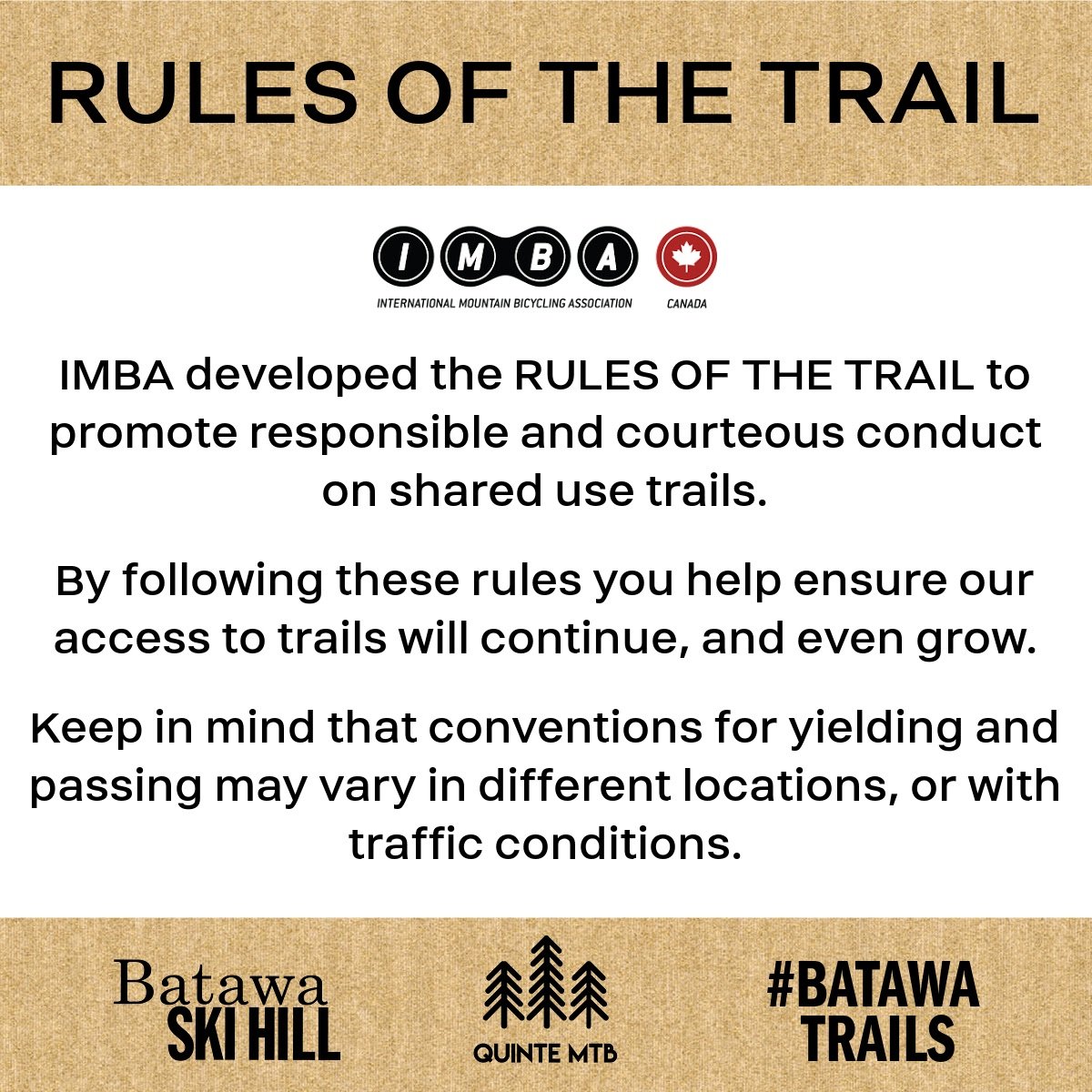
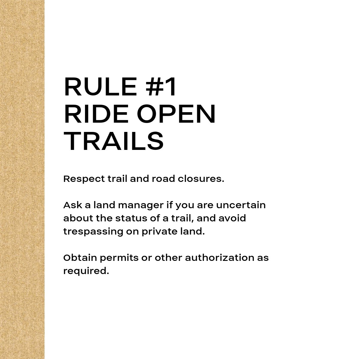
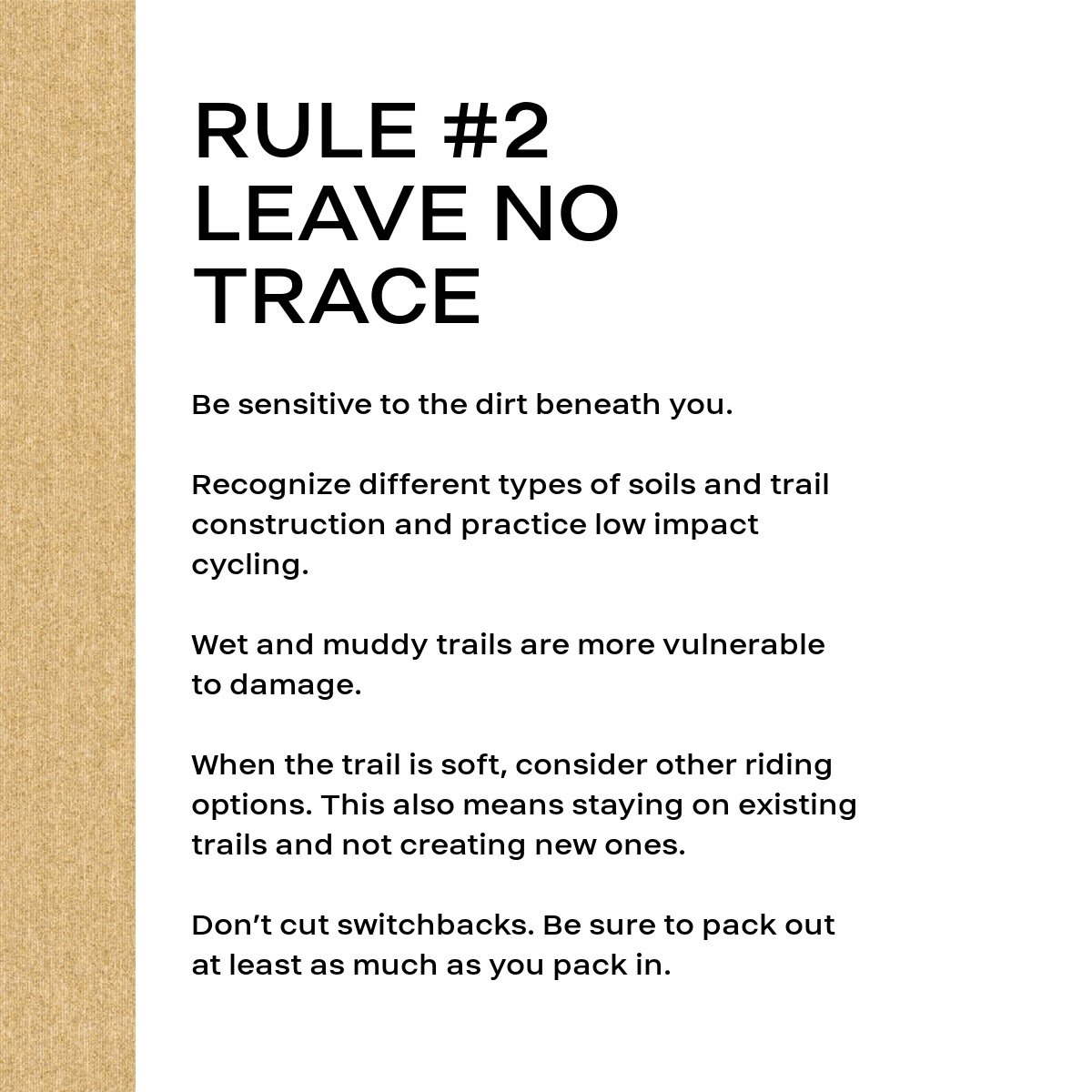
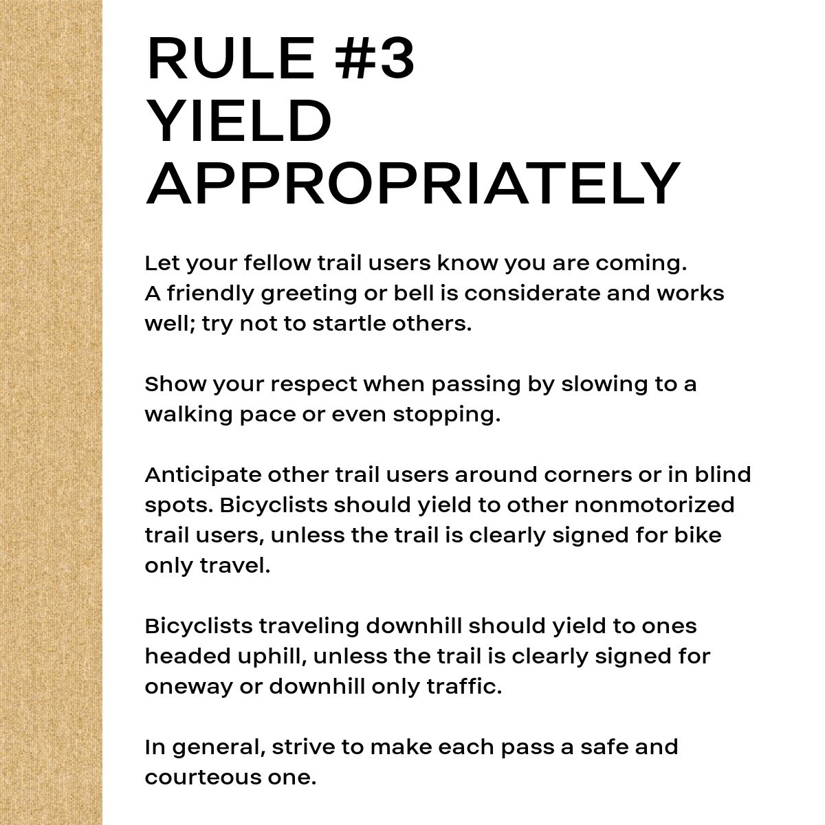
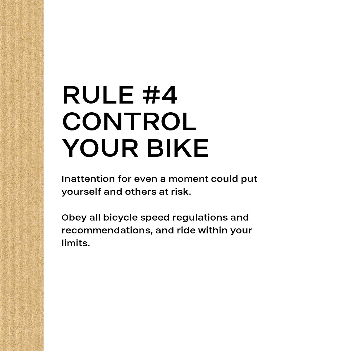
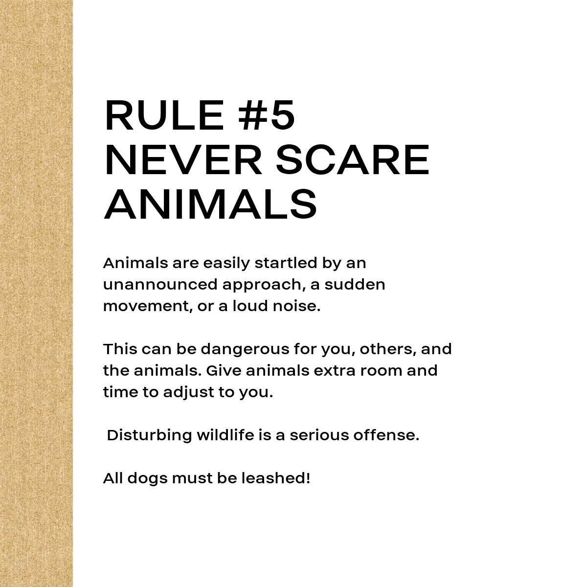
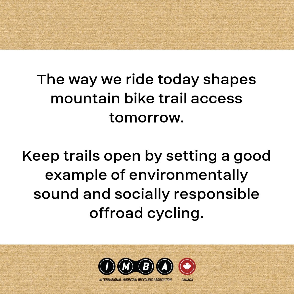
Please familiarize yourself with the Canada’s International Mountain Bikers Association “Rules of the Trails” for adults and young riders by scrolling through the photo gallery below. A French version can be found HERE.
If you have signed up to help Quinte MTB or Batawa Ski Hill with trail work, please sign the waiver below.
Keep your signed waiver email confirmation handy. You will have to provide it to your trail supervisor.
If you are under the age of 18 you will need a parent/guardian to complete the waiver on your behalf.